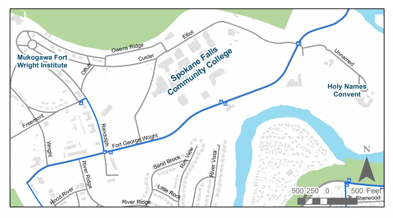
 Spokane Transit is conducting a planning study for a transit station at Spokane Falls Community College in response to requests from community members. The City of Spokane also anticipates constructing street improvements on Fort George Wright Drive in the near term future. As a result, the STA will team up with the City for a collaborative planning effort with the following proposed scope:
- Inventory existing conditions and develop a vision and goals for the corridor
- Identify alternatives for a mixed use/neighborhood serving commercial center
- Assess alternatives for a transit station at Spokane Falls Community College
- Develop concepts for transit access improvements for the Mukogawa Fort Wright Institute
- Identify and map concepts to improve multi-modal (bike, pedestrian & transit) connections on and to the corridor
- Develop a concept for streetscape improvements for Fort George Wright Drive
A community meeting will be held to kick off the effort on Tuesday, January 12, from 6:30-8:00 p.m. at Spokane Falls Community College, 3410 W. Fort George Wrigth Drive in Falls Gateway Building 30, Falls Conference Room 30-212.The Neighborhood’s goals and desires for the corridor will be discussed at that meeting. More info on the study can be found on the Spokane Transit website here.
2 comments:
Were any permanent decisions made?
Not yet. Being the kickoff meeting for the study, STA and City staff were just gathering input on potential issues in the study area at this point, as well as sharing information on the study with those who attended. No decisions yet.
Post a Comment